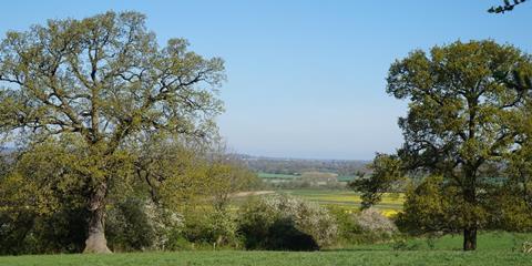
Land designated in England as green belt grew last year for the first time in nearly a decade, reaching its largest extent since 2013-14, according to official figures.
The annual local authority green belt statistics, published this morning by the Department for Levelling Up, Housing and Communities (DLUHC), shows that 1,638,150 ha of land were protected by the designation at the end of March this year.

This figure, which accounts for 12.6% of England’s entire land area, contained an increase of 24,150 hectares in designated green belt land over the previous year. Around 11% of England’s land area is classed as built-up, in comparison.
This is the first time that there has been an annual increase in designated green belt since the government’s current methodology for assessing its extent was introduced in 2013-14.
And it means that the green belts are larger in total than in any year since then, when 1,638,630 ha were protected by the designation. Subsequent years have seen a continual erosion in the total extent of England’s green belts.
National planning policy classes nearly all development in the green belt as inappropriate, and says it should be resisted, except for in “very special circumstances”, making it enormously difficult to provide new homes in green belt locations.
A total of 14 local authorities reported changes to land designated as green belt in 2021-22.
The lion’s share (90%) of the growth was accounted for by Northumberland, after its green belt increased by 26,790 hectares.
The change is mainly made up of extension of the Northumberland green belt around the town of Morpeth following the adoption of the unitary council’s local plan.
See also>>The green belt is strangling the life out of planning
However, the big increase in the land designated in Northumberland green belt masked a continued erosion of the green belt elsewhere in England.
A total ten councils took land out of the green belt. The biggest change took place in Central Bedfordshire where 1,290 ha was removed from the green belt, five per cent of the land previously protected by the designation in the authority.
Matthew Spry, a senior director at planning consultancy Lichfields, said the increase in Northumberland was “in a sense an anomaly” because it confirmed a redrawing of the area’s green plan in the county’s 2005 then structure plan.
The latest annual figures also show a “continued trend” of 10 to15 local authorities making changes to their green belt, he said: “This year, 14 local authorities made changes, but given the stalling of the local plan system since 2020, this perhaps represents the high water mark of change.
“Plan making in green belt locations is treading water so we may perhaps see fewer changes in green belt in future years.
“This does not bode well for housing delivery in the least affordable parts of the country, in commuter areas around some of our big cities. “
Paul Brocklehurst, chairman of the Land Promoters & Developers Federation, said last year’s increase still means the size of the green belt is “more than double” the 721,500 ha that it covered in 1979.
He said: “This is a land designation that constrains and stifles the economic growth of our cities, is not an environmental, landscape or ecological designation and often relates to land that has no public access
Paul Miner, head of strategic plans and devolution at the Campaign to Protect Rural England, said the group’s “main concern” is the “continued nibbling” of the metropolitan green belt caused by “substantial” and “largely unnecessary” releases in Central Bedfordshire.


